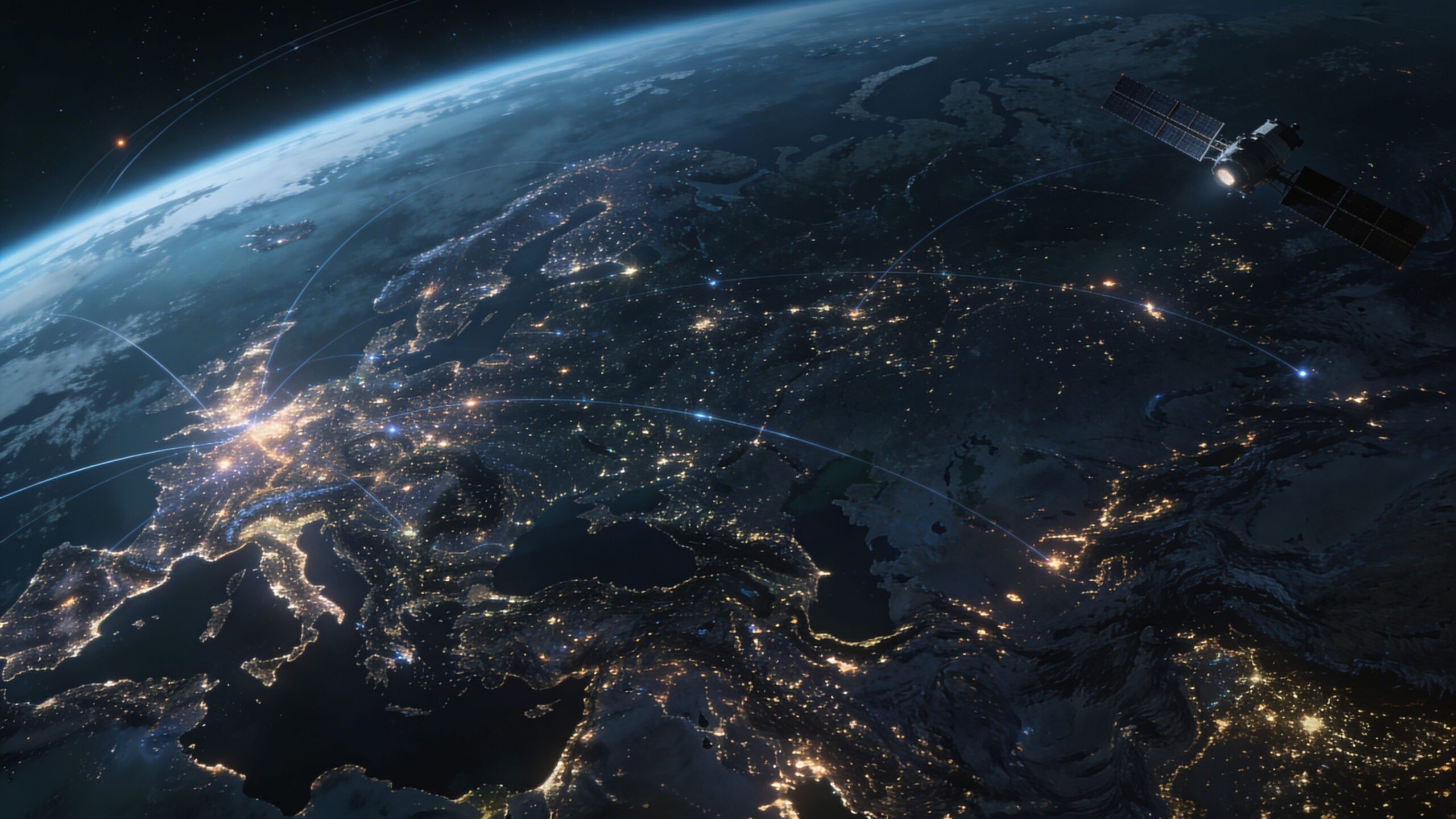
Global Connectivity Maps reveal the astonishing pathways that keep the modern world in constant conversation. They transform invisible networks into vivid visual stories, showing how undersea cables, satellites, fiber routes, data centers, towers, and wireless corridors connect homes, cities, countries, and entire continents. On Telecommunication Streets, this section explores the geography of communication through maps that illustrate how information travels across oceans, mountains, borders, and skylines in real time. From sprawling terrestrial fiber lines to orbital satellite constellations and mobile coverage webs stretching across remote regions, Global Connectivity Maps help readers see communication as a living global system. They highlight the routes, hubs, bottlenecks, and breakthroughs that shape how the world shares data, voice, video, and opportunity. Whether you are fascinated by the infrastructure behind the internet, the reach of mobile networks, or the visual beauty of global telecom systems, this page opens the door to a connected world in motion. It is a place where maps become stories, networks become landscapes, and technology becomes something you can truly visualize and explore.
A: It is a visual guide showing how telecom networks, routes, and infrastructure connect regions around the world.
A: They carry a huge share of international internet and data traffic between continents.
A: Not entirely; satellites expand access, but fiber still handles enormous amounts of high-capacity traffic.
A: It usually shows where a service signal can reach, though speed and quality may still vary.
A: Population density, geography, investment, and infrastructure planning all play a role.
A: It is the delay between sending and receiving data across a network connection.
A: Some do, especially when they include performance, bandwidth, or regional broadband comparisons.
A: It means having backup routes so communication can continue if one path fails.
A: They store, process, and route digital information across wider networks.
A: Researchers, telecom professionals, planners, businesses, educators, and curious readers all use them.